



Make GIS actionable across government
Accela connects ArcGIS data with the workflows, records, and decisions that move government forward. By bringing location intelligence into planning, permitting, inspections, service requests, asset management, and field operations, agencies can put GIS to work across departments, see activity in context, and turn spatial insight into coordinated action.

Planning and community development
Evaluate applications with zoning, land use, infrastructure capacity, and surrounding development activity.

Permitting and inspections
Give reviewers and inspectors access to property information, permit history, map layers, and location-based insight.

Public Works and Utilities
Connect assets, work, crews, costs, maintenance, and risk to a live geographic foundation.

Citizen engagement
Create map-enabled experiences that help residents understand projects, submit requests, and interact digitally.

Accela and Esri connect location, workflows, and community outcomes.
Accela and Esri combine ArcGIS location intelligence with purpose-built government workflows. The partnership helps agencies connect authoritative spatial data to the people, processes, and services responsible for planning communities, managing development, maintaining infrastructure, and serving residents.
Bring ArcGIS maps, layers, parcels, addresses, assets, and spatial context into Accela workflows.
Apply location intelligence across permitting, licensing, inspections, public works, utilities, and citizen services.
Link decisions made during planning and approval to the infrastructure and services agencies manage over time.
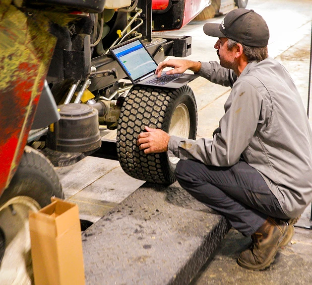
Maximize Your ArcGIS Investment
ArcGIS gives agencies a powerful system for managing and understanding spatial information. Accela extends that investment by embedding location intelligence into the everyday processes staff use to serve residents, manage development, and operate community infrastructure.
- Visualize permits, inspections, cases, assets, and requests
- Reduce manual lookups and duplicate entry
- Equip office and field teams with location-aware information
- Connect records to parcels, locations, and infrastructure
- Improve collaboration across departments
- Support better-informed operational decisions
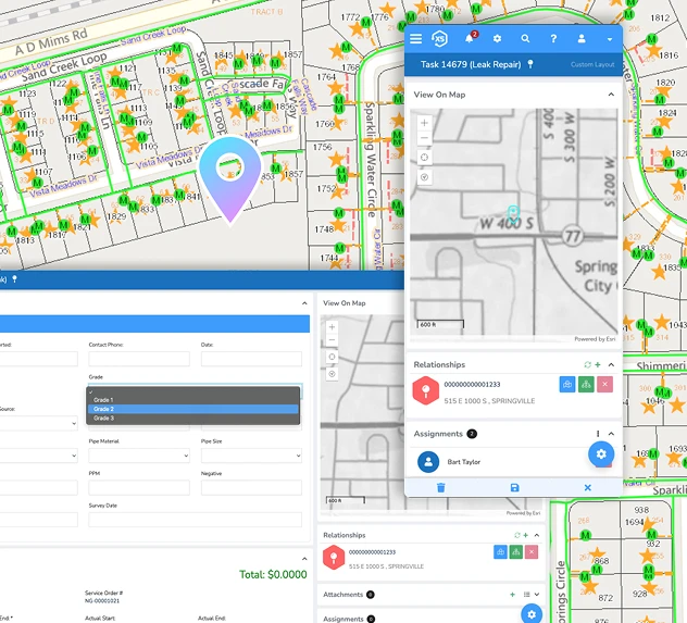
Novotx Elements XS: A Live GIS Foundation for Critical Infrastructure
As part of Accela’s expanded platform, Novotx Elements XS brings GIS-native enterprise asset and work management to public works and utilities. Built exclusively on Esri ArcGIS, Elements XS works directly with live GIS data so maps, assets, work orders, maintenance activity, costs, and operational history remain connected in one environment.
This live geographic foundation helps public works and utility teams manage critical infrastructure with greater visibility, coordinate complex teams and field environments, prioritize maintenance, monitor risk, and make more informed lifecycle decisions.
Manage Critical Infrastructure
Connect roads, water systems, wastewater networks, facilities, fleets, and other public assets to work and history.
Reduce Operational Risk
Use location, condition, maintenance, and work history to identify what needs attention and prioritize response.
Coordinate Complex Teams
Give office staff, supervisors, crews, and contractors a shared operational view from the office to the field.
Eliminate GIS Synchronization Gaps
Work from live ArcGIS data rather than maintaining disconnected copies of spatial asset records.
ArcGIS helps agencies understand where something is happening.
Accela helps agencies manage what happens next.
From approval to operations
Connected Civic Lifecycle
